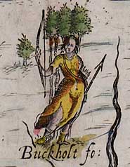
 Michael Drayton's allegorical representation of Buckholt Forest, Hampshire, in Poly-Olbion
|
Atlas and Maps
This is the entry point for the mapping produced by the project since 2003, and related resources. Click on the left for the regional index maps and the 'OS one-inch sheet' maps; for examples of early-modern maps and plans; and to compare the project's mapping to date with Bazeley's map of 1921, still being relied on by scholars in 2009.
|